All photos were taken by Rhys Tyers
It all started out over a cup of tea at Greenclose cottage, the venerable headquarters of the even more venerable Northern Pennine Club. Tony Seddon, expert cave diver, shorts model and peripatetic caving equipment salesperson was discussing good places to look for caves in the Yorkshire Dales. Having been to Hell Gill the other weekend, I recognised the name Wild Boar Fell, an impressive gritstone cap with a thick limestone bed underneath. Tony’s tales of caverns measureless to man enthralled us, and a week later we decided to go check it out.
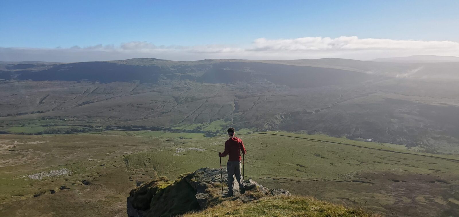
Now, Wild Boar Fell is a long way from anywhere, and we couldn’t stay at Greenclose that weekend due to covid restrictions. I convinced my partner, Alex, that what he really wanted to do was go wild camping, and so we met with Cecilia and Rhys early on a windy Saturday morning. With heavy packs, we trudged up the bridleway, under the railway line and up onto the limestone pavement.
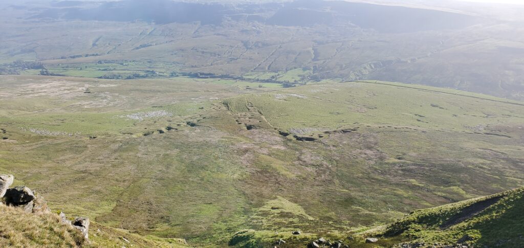
I’d originally scouted out a camping place near a wall at the wonderfully named High Dolphinsty, but the wind was very strong and the ground quite wet. Instead, we dropped back down to the limestone pavement and ditched our bags in a big shakehole. We had maps of the previously located shakeholes, which all form at the edge of the gritstone cap. This impermeable rock layer filters all of the water off the fell and down to the soluble limestone below, a perfect way to form caves.
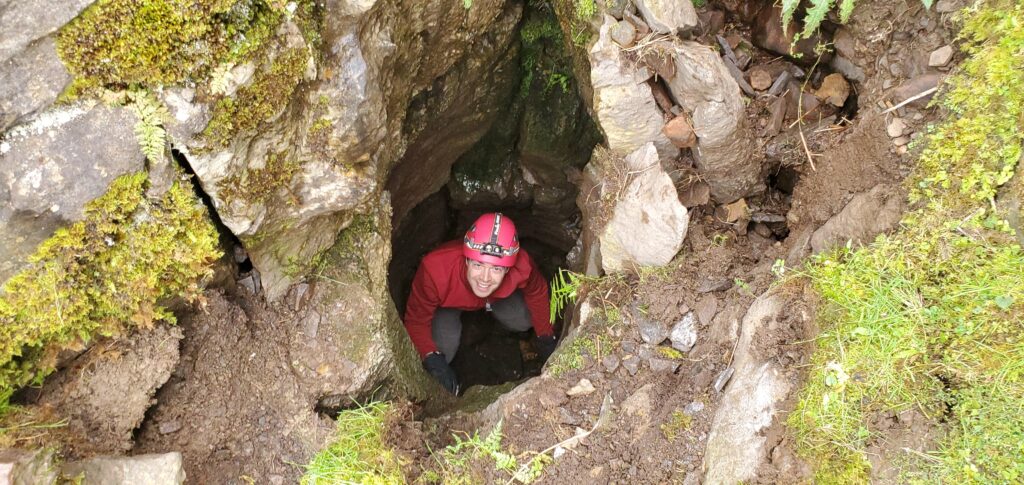
The shakeholes were initially a bit disappointing – little depressions with some limestone inside. But as we moved south along the eastern flank, the shakeholes got deeper, several of which we couldn’t see the bottom of from above. Altogether there are around 30 in this “Angerholme Pots” series, named after a farm in the valley below, and I reckon a good dozen are promising.
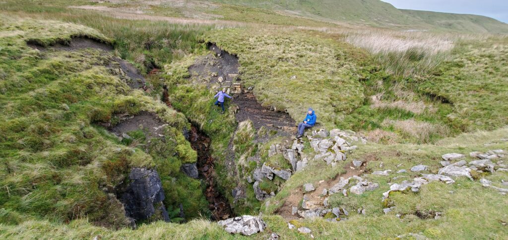
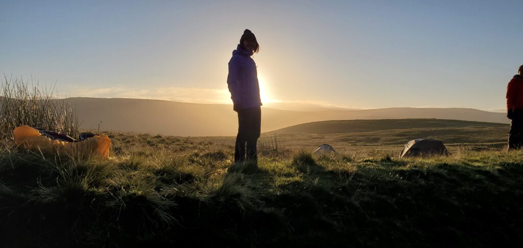
After a long and windy day out and about, we stomped back to our bags. We had planned to bail and camp outside Greenclose cottage, but after a hot cup of soup (recipe: dissolve a stock cube in boiling water, drink) we felt much better. We realised the tents could be pitch in a slightly sheltered hollow, and we could cook in the shakehole itself, an exciting prospect as there was a 3m deep rift running right through the middle, which encouraged a degree of caution.
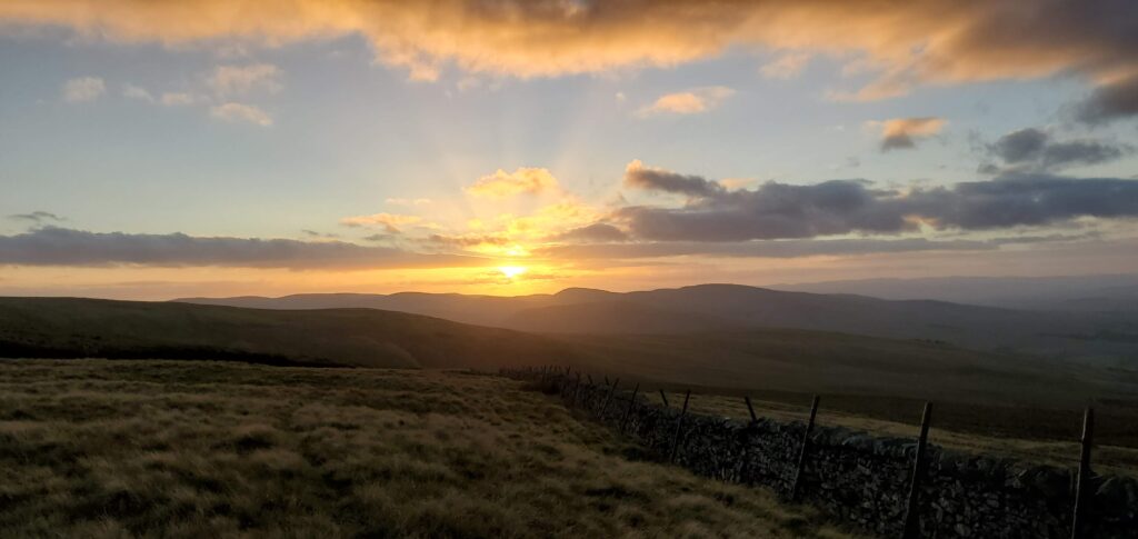
After lots of Ainsley’s finest cous cous, several rounds of Contact and a bit of whisky, we stomped up the hill to watch the sunset, and then retreated to our tents for more Contact before bed. The wind rattled our tents most of the night, but we were cozy and sheltered and slept well.
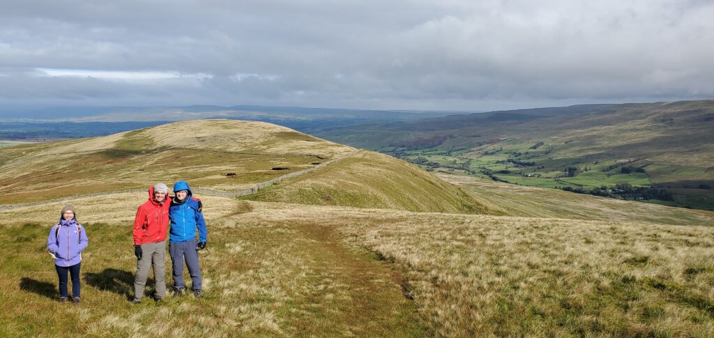
The next morning the sky was perfectly clear, with a glorious sunrise which quickly dried our tents. We packed camp, ate porridge and again left most of the stuff in a shakehole. We set off for a hike over the top of Wild Boar Fell, taking in Sand Tarn (an attractive spot for wild camping, but a bit exposed due to the NW-erly wind this weekend) and the broad, flat gristone cap.
We dropped down to Swarth Fell Tarn (quite boggy, difficult to find a spot to wild camp) and then contoured around at about 500 hm, to find a series of shakeholes listed on the western flank. These were, without exception, disappointing, and we continued around enjoying the sunshine more than the cave spotting. Eventually we returned to our bags, and packed up to go home.
Certainly we will be back with a rope and SRT kit to descend to the bottom of some of the eastern shakeholes. Despite a write up in the Gritstone Club journal in 1985, there is little information on further exploration, and the Gritstone club are vague about what they found at the bottom. Most likely they are all narrow, boulder choked rift, but some incredible (literally) dye tracing results have the water going through the hill, or appearing on the other side of a valley, so clearly something is going on, and it’d be nice to know what that is.