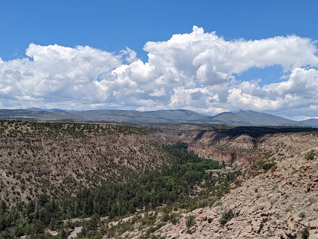
After finishing up at the International Conference on Plasma Science in Santa Fe NM, I was ready for another long weekend of caving with Alex and Minori. I had a great drive up to Los Alamos, winding through the canyons, mesas and basalt columns and admiring how green and verdant northern New Mexico is. I spent the evening at Alex’s place on Google Earth, trying to discern whether faint shadows were possible cave entrances for our planned “ridge walking” (a term NM cavers use to mean looking for caves, on a ridge or otherwise) on Sunday.
Yo-Yo Pit
On Saturday morning we rose early and drove back to Santa Fe for our first cave was Yo-Yo pit. This is a 50 m deep shaft with no further passage at the bottom, so it’s a relatively straightforward bounce to the bottom, hence the name. Most of the group were new to me, but they were all friendly, as cavers usually are, and one had extensively canyoneering experience in the US and Europe, so we fell into chatting about good places to visit.
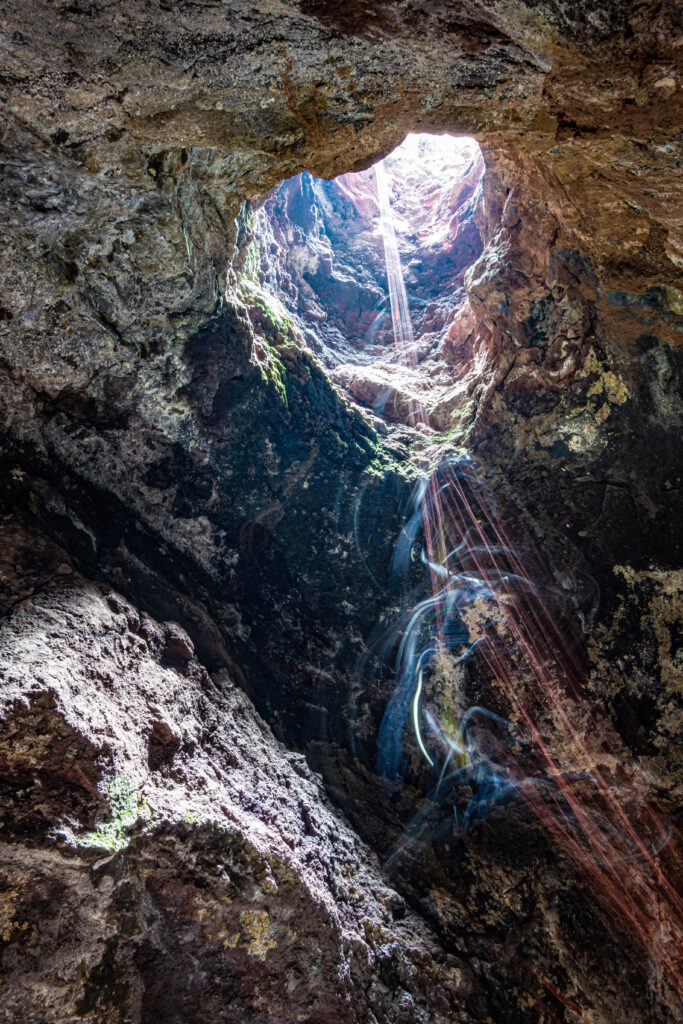
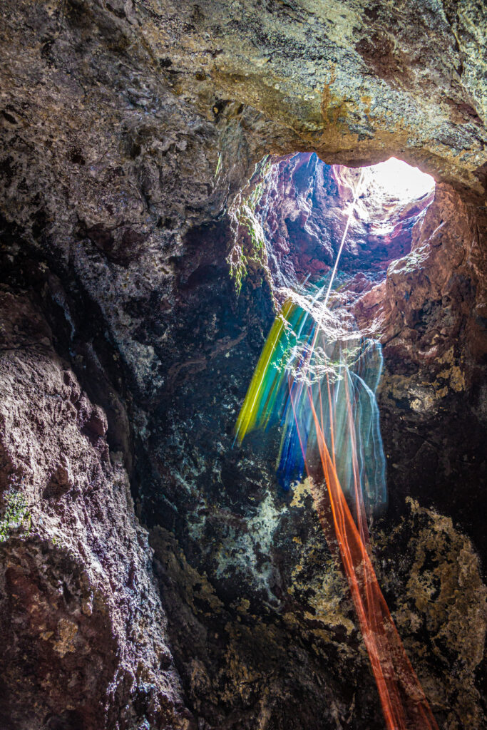
We parked up some distance away and car pooled in 4WD vehicles along the steep, rocky roads up to the entrance. I was in the back of Minori’s truck, desperately trying not to brain myself as we shook from side to side. Apparently it’s possible to park at the bottom and walk up, but this direct approach reduced the walk in to mere minutes! Minori rigged off a tree and a large rock with plenty of webbing, and Nikki dropped down first. It had been a while since I’d done SRT, so I checked and rechecked very carefully before clipping in and beginning to descend. There was one tricky bit as the shaft opens out to a free hang, where one has to manage the descender going over a lip. That managed, it is a long free hang to the floor. I maintained a steady pace, as the dry rope would’ve been easy to glaze, and frankly I was pretty nervous. At the bottom I was shaking a bit, and quickly derigged and stepped away from the fall zone.
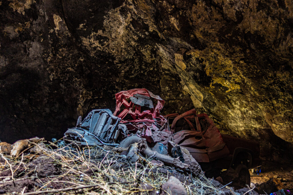
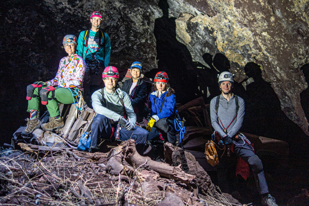
The others descended in short order, and I grabbed some photos using my tripod and a longish exposure. There were two notable features in the cave – a cross marking the unfortunate death of a man who had descended into the (again, 50 m deep) pit to retrieve his cell phone, and a large crumbled pick-up truck. The anecdotal story here is that the truck was caught up in an acrimonious divorce, which led to it being dropped down the pit. It was surprisingly intact, though a source of plentiful broken glass.
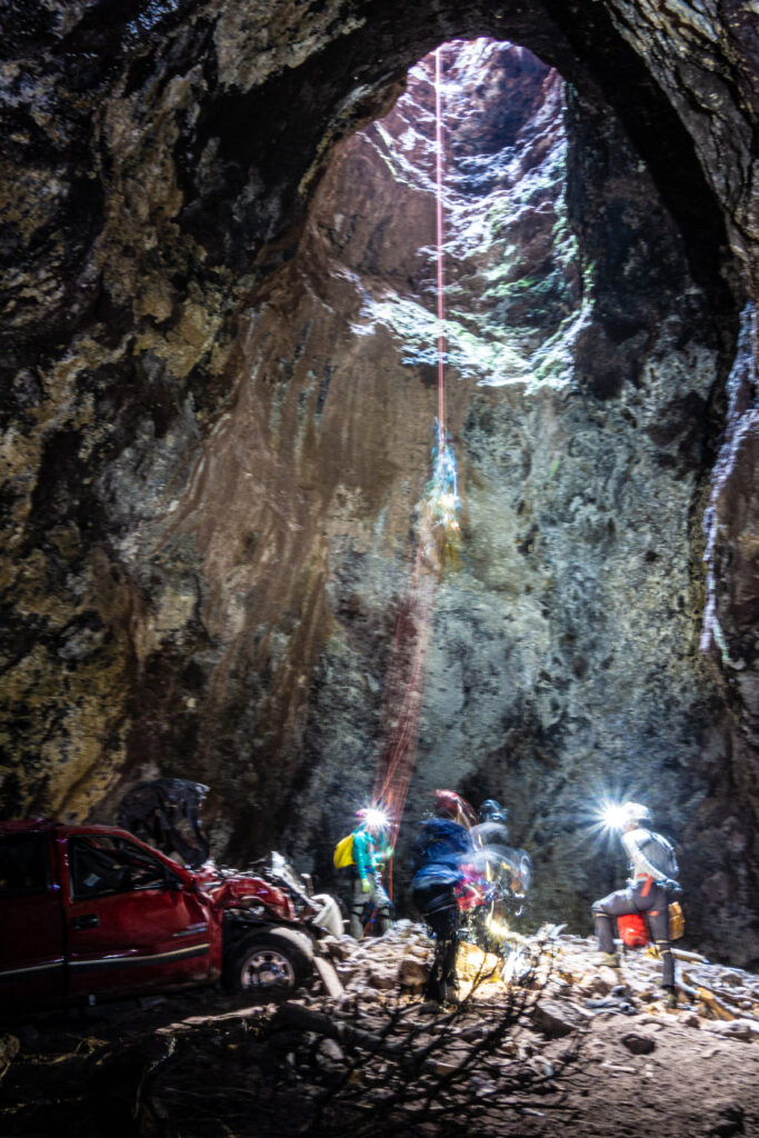
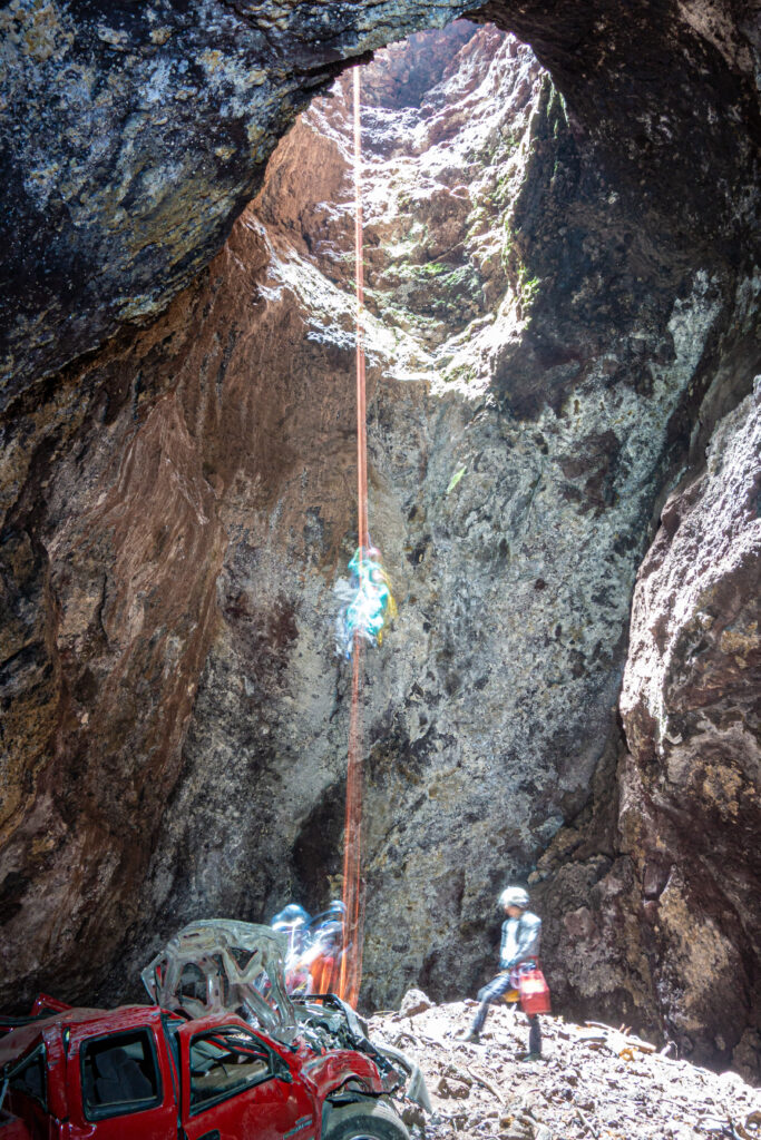
We tidied up a fair bit of litter, mostly beer cans, and took some photos before heading out. I was rather pleased with how easily SRT came back to me after almost two years without climbing a rope, though I was pretty knackered by the top. We drove back down the bumpy rode and had delicious Mexican food for lunch.
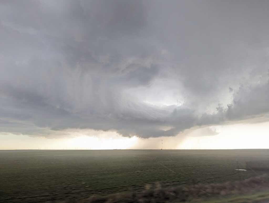
After that, it was all go for the main event of the weekend, which was down near Roswell, almost 4 hour drive away. We went by Minori’s place to pack all of the food and gear she had prepared into her truck, and then headed down Rt 285, a road I’ve spend a disproportionate amount of life being driven along consider how often I am in NM. An epic storm developed, and we rode through the hail with lightning flashing all around – the monsoon season had definitely begun! Finally we made it to the ranch, where the ranch owner had very generously let us use his incredible guest house, which was the perfect base for our exploration of the river cave system nearby.
The Martin Cave System
The Martin cave system is a stream cave on the gypsum karst plain, the last complete survey of which is dated 1991. It features many entrances, either from inlets or from collapse features which bisect the passage and enable both upstream and downstream entrance. It sits on private land, and our access was entirely due to Alex’s careful negotiation and the land owner’s enthusiasm.
Alex, Minori and I were joined on this weekend by several other cavers – Knutt and Alek from the BLM, Caleb and Sharon, relatively new cavers, John, an experienced caver who has spent a lot of time on the gypsum karst plain and elsewhere, and Carrin, who I’d caved with in December. That first night we all gathered for dinner and to talk through the plan – we would split into three teams of three, and thoroughly inventory the cave for geological, hydrological, animal and cultural features, as well as pulling out any trash and checking that the survey was still accurate.
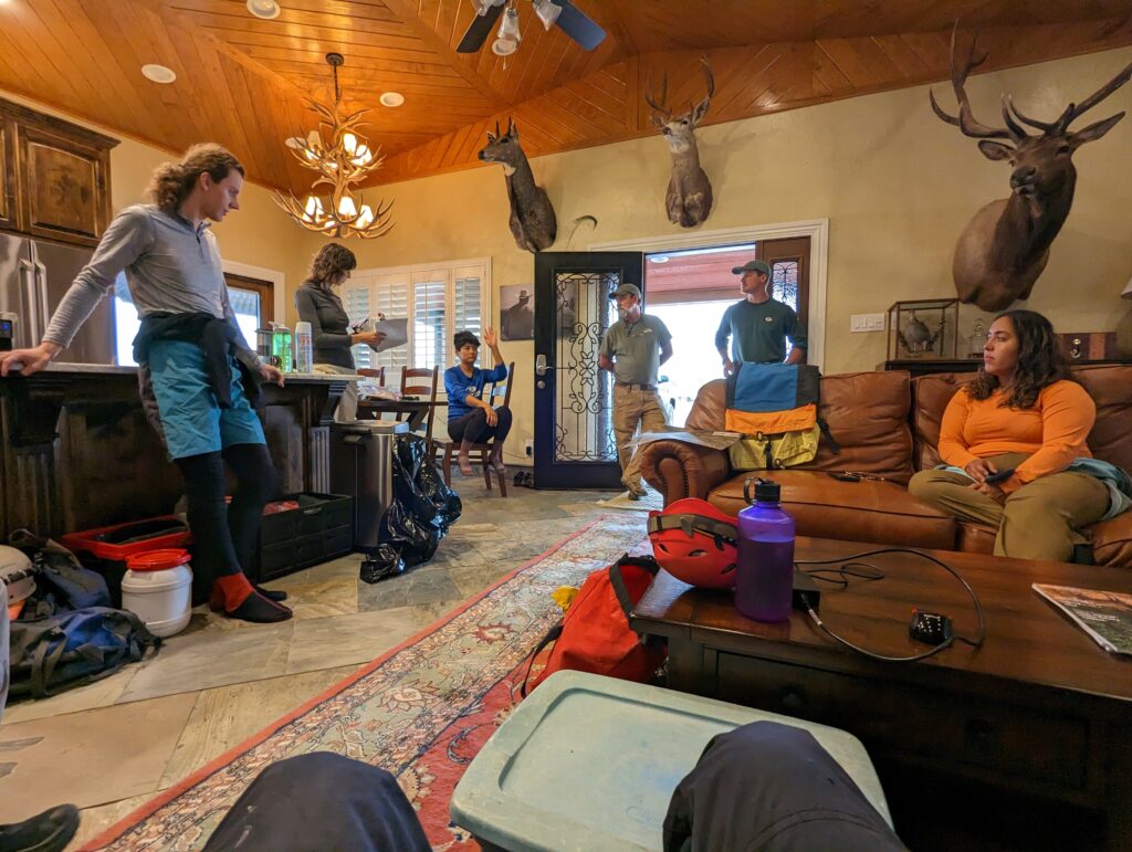
The next day dawned, grey and dreary. With the real risk of flash flooding in the cave, we consulted as many weather forecasts as possible, and confronted the real issue of chaos in non-linear systems – there was no real consensus as to if or when a storm would hit. Instead we decided on a conservative approach of spending only a few hours in the cave before coming out to check the weather.
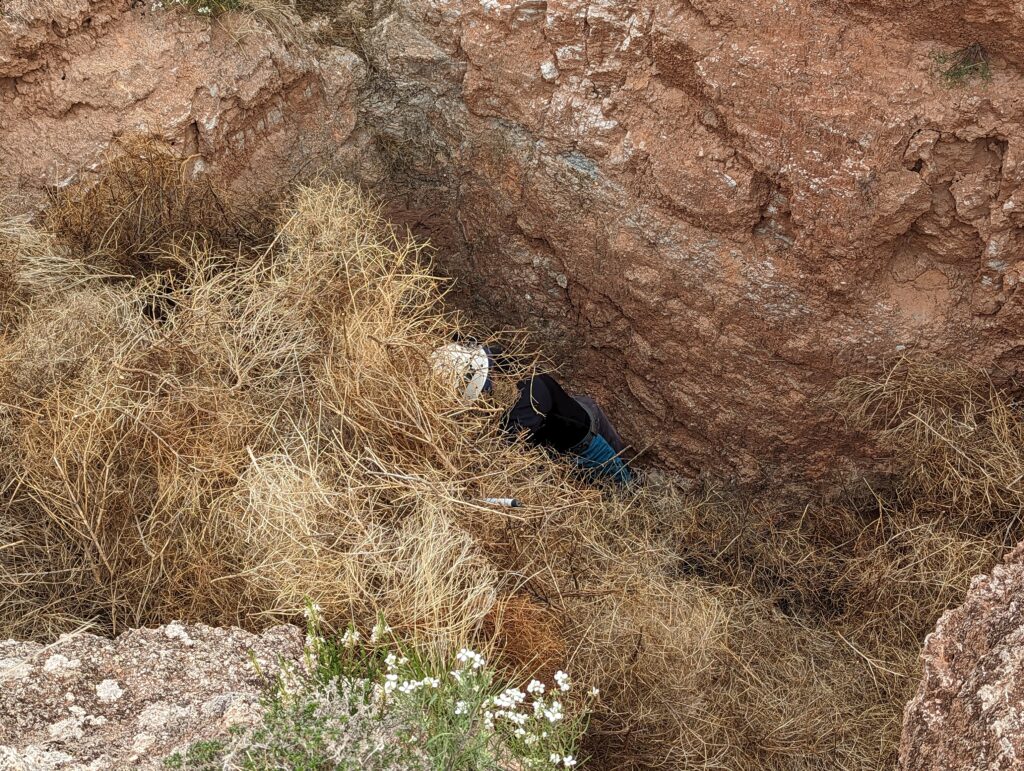
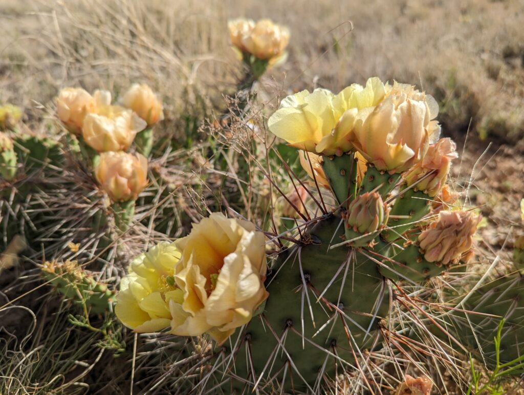
To begin with, we walked along the surface so that everyone knew where all the entrances are. As the locations of cave entrances are not generally shared online in the US, I will omit photos of our surface hikes, but I will try to paint a picture in words . The ground is flat and sandy, with pale orange and white dirt and small regions of exposed gypsum. The plants are small and spiky, mostly cactus and yucca, with some small shrubs. There are no trees, and no shade. The horizon stretches forever – we could see big storms in Mexico and Texas – with only faint mountains shaded in the distance. Shakeholes punctuate the landscape, most only shallow and filled with grass that thrives on the water that gathers there. Here and there, the shakeholes go deeper, forming small canyons which quickly fill with tumbleweed, making it hard to find the way on. We wandered around trying to find the lower two entrances for some time, but were entirely unsuccessful. Faced with our strict time limit to avoid the storm, all teams decided to enter at the second entrance from the top, with one team going upstream, and the other two heading down to inventory their respective sections, and look for the entrances from below.
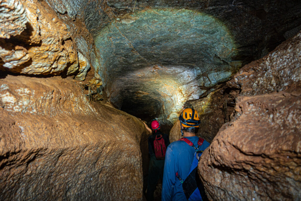
Carin led the team I was on as the experienced inventory-er, with Caleb along for his geological knowledge. I was there to look pretty and make puns in a British accent. We moved quickly downstream with John, Alex, and Alek, in wide, mostly walking height passage. The water was only ankle deep, and I quickly removed the thermals I’d put on in case of deep cold water. We quickly found the survey hard to follow, but after a little while a clear inlet on the left caused us to pause as Carrin and Caleb went to check it out. They reported back that they’d found a way out, but it wasn’t one marked on the survey! Such is the shifting nature of the gypsum caves, I suppose. The other team then headed back upstream, having overshot the section of cave they were meant to study, and we continued downstream to find the end of our section.
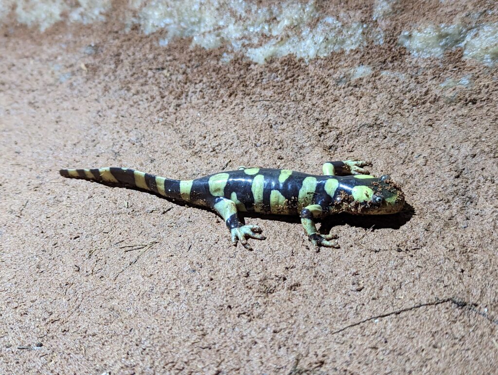
I must say that we had the best of this trip – our section of cave was really beautiful, with a sinuous vadose canyon beneath a wide phreatic tube. it reminded me a great deal of Yorkshire caves, but with more salamanders. Very quickly we found the entrance we had been supposed to enter through, entering through a tube in the ceiling, and Carrin and I went to check it out. It turns out to have been entirely buried in tumbleweed, which Carrin bludgeoned her way through with a tackle sack. On the surface we checked the weather (no storms visible) and then headed back in.
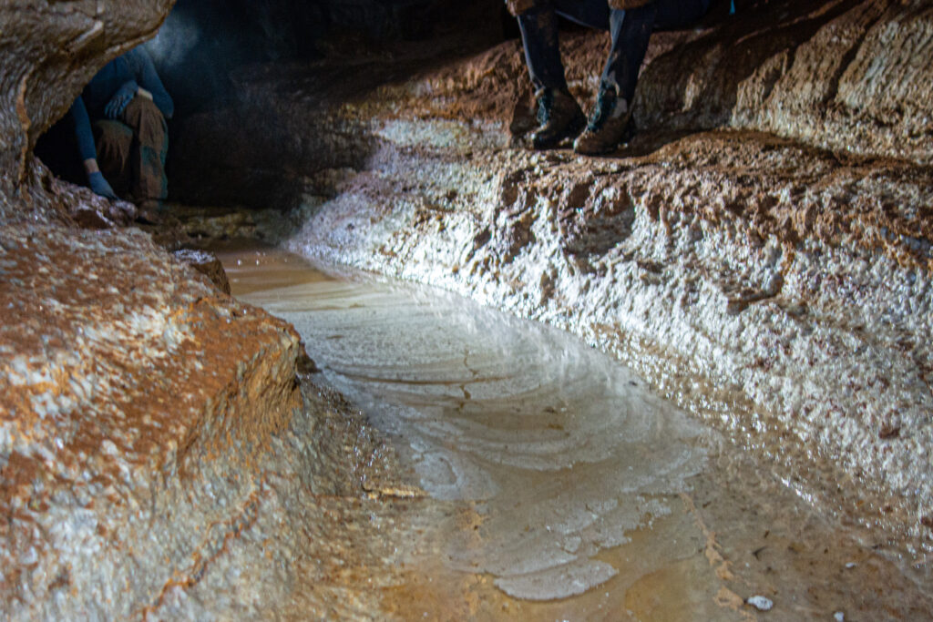
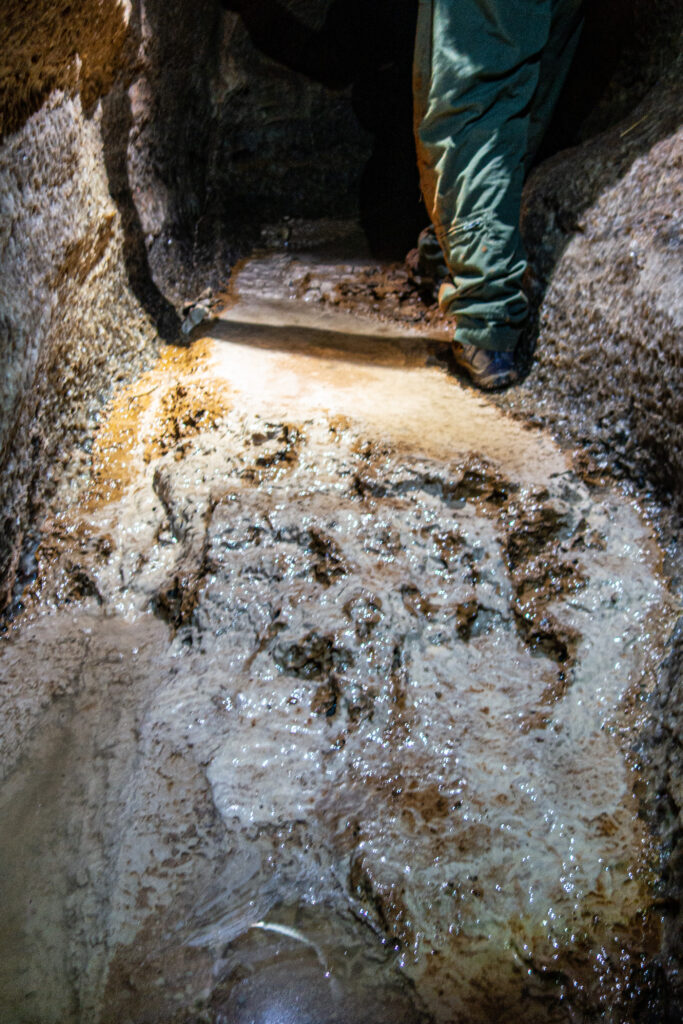
At this point we did not have time to do the inventory, having used a lot of time working out where we were. Instead, we headed back out Carrin and Caleb’s new entrance (later dubbed “Time Sink”) and joined the others on the surface. The most upstream team had hauled a huge amount of trash out, and after a quick lunch some of us headed back in to the cave to haul out even more. Alex walked along the surface looking for the source, and found a shakehole choked with tumbleweed and trash that was in the direction that the cave was heading, and so was presumably the source of most of this. In the end we pulled out a vast amount of glass, metal, plastic and hazardous chemicals such as motor oil and sulphuric acid. Back on the surface we could see the storm coming in fast, so we retreated to the guest house and called it a day.
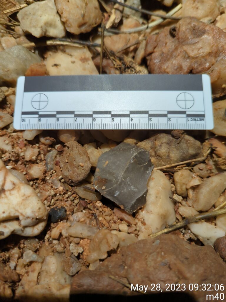
The next day we had planned to ridge walking and look for caves, but the lure of the cave was too much. We returned to inventory it more thoroughly, which was a thoroughly meditative exercise – moving very slowly, we noted everything we saw, from the patterns on the rock to tiny beetles in the water. My favourite find was a knapped piece of chert, which (I was told!) was evidence of prehistoric tool making, washed in by the rain..
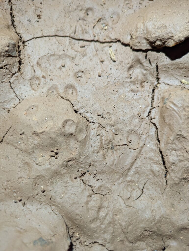
After finishing our section we headed downstream to find the other team. As they continued along the main passage, we crawled to a phreatic tube coming in from the side and crawled along. Suddenly I looked down, and in the soft, drying mud below I saw distinctive cat-like paw prints! Unwilling to meet a bobcat at close quarters, and running out of time before our storm check, we beat a retreat back to the surface.
After a late lunch at the guest house, we met the ranch owner and had a long chat where he filled us in on the history of the ranch and those who’d lived there before. He was very friendly, and seemed to genuinely like having cavers explore some of what lay beneath his land, though he had no interest in going there himself! We then finally got to do some ridge walking, which consisted of driving to one of the points identified from aerial photographs and looking if there was a cave there. The first few times we found nothing, but finally we (I mean Alex and Minori!) managed to find a section of cave that went for some distance underground. As it was already late, we logged it for a later trip, probably in the Fall when the rains have eased a bit.
After dinner in Roswell, we drove north back to Albuquerque as the sun set. It was an incredible weekend of caving, with great people and a truly fascinating cave – I can’t wait to be back in NM and cave again!
